Nouveauté
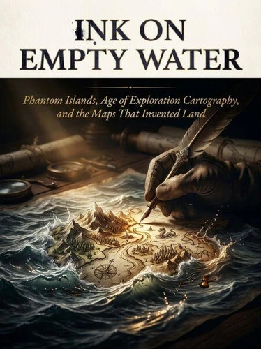
Ink on Empty Water. Phantom Islands, Age of Exploration Cartography, and the Maps That Invented Land
Par :Formats :
Disponible dans votre compte client Decitre ou Furet du Nord dès validation de votre commande. Le format ePub est :
- Compatible avec une lecture sur My Vivlio (smartphone, tablette, ordinateur)
- Compatible avec une lecture sur liseuses Vivlio
- Pour les liseuses autres que Vivlio, vous devez utiliser le logiciel Adobe Digital Edition. Non compatible avec la lecture sur les liseuses Kindle, Remarkable et Sony
 , qui est-ce ?
Notre partenaire de plateforme de lecture numérique où vous retrouverez l'ensemble de vos ebooks gratuitement
Pour en savoir plus sur nos ebooks, consultez notre aide en ligne ici
C'est si simple ! Lisez votre ebook avec l'app Vivlio sur votre tablette, mobile ou ordinateur :

- Nombre de pages210
- FormatePub
- ISBN978-3-565-63090-5
- EAN9783565630905
- Date de parution10/08/2026
- Protection num.pas de protection
- Taille961 Ko
- Infos supplémentairesepub
- ÉditeurEmphaloz Publishing House
Résumé
For over four centuries, islands that did not exist commanded the same cartographic authority as continents. Phantom islands - Hy-Brasil, Sandy Island, Antillia, Frisland - appeared on official European nautical charts, influenced naval routes, and shaped colonial ambitions. Their presence on the map was not a sign of ignorance but of how early modern Europe built knowledge: through compounded testimony, institutional trust, and the political need to fill blankness with meaning.
The mechanisms behind these errors were structural.
A captain, disoriented by optical refraction or fatigue, logged a landmass in good faith. That entry passed into the cartographic record through the David Rumsey-type collections of manuscript portolans and printed atlases. Subsequent cartographers, trained to defer to prior authority rather than absence of evidence, reproduced the island across generations. Hy-Brasil appeared on charts from 1325 until 1865 - over five centuries of institutional persistence.
Sandy Island survived in official databases until satellite imaging confirmed open ocean in 2012. What cartographic history reveals is not mere error but a system of verification built on social trust rather than empirical method. Each phantom island exposes the boundary between observation and reproduction, between the sea captain's log and the printing house's authority. The process by which satellite data finally erased these landmasses is itself a story about which institutions hold the power to declare what is real - and what the world loses when the map no longer has room for the unverified.
A captain, disoriented by optical refraction or fatigue, logged a landmass in good faith. That entry passed into the cartographic record through the David Rumsey-type collections of manuscript portolans and printed atlases. Subsequent cartographers, trained to defer to prior authority rather than absence of evidence, reproduced the island across generations. Hy-Brasil appeared on charts from 1325 until 1865 - over five centuries of institutional persistence.
Sandy Island survived in official databases until satellite imaging confirmed open ocean in 2012. What cartographic history reveals is not mere error but a system of verification built on social trust rather than empirical method. Each phantom island exposes the boundary between observation and reproduction, between the sea captain's log and the printing house's authority. The process by which satellite data finally erased these landmasses is itself a story about which institutions hold the power to declare what is real - and what the world loses when the map no longer has room for the unverified.