Nouveauté
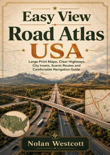
Easy View Road Atlas USA. Large Print Maps, Clear Highways, City Insets, Scenic Routes and Comfortable Navigation Guide
Par :Formats :
Disponible dans votre compte client Decitre ou Furet du Nord dès validation de votre commande. Le format ePub est :
- Compatible avec une lecture sur My Vivlio (smartphone, tablette, ordinateur)
- Compatible avec une lecture sur liseuses Vivlio
- Pour les liseuses autres que Vivlio, vous devez utiliser le logiciel Adobe Digital Edition. Non compatible avec la lecture sur les liseuses Kindle, Remarkable et Sony
 , qui est-ce ?
Notre partenaire de plateforme de lecture numérique où vous retrouverez l'ensemble de vos ebooks gratuitement
Pour en savoir plus sur nos ebooks, consultez notre aide en ligne ici
C'est si simple ! Lisez votre ebook avec l'app Vivlio sur votre tablette, mobile ou ordinateur :

- Nombre de pages310
- FormatePub
- ISBN978-3-565-56401-9
- EAN9783565564019
- Date de parution15/07/2026
- Protection num.pas de protection
- Taille30 Mo
- Infos supplémentairesepub
- ÉditeurEmphaloz Publishing House
Résumé
Navigate the United States with clarity, comfort, and confidence using Easy View Road Atlas USA, a travel companion designed for drivers who want maps that are clear and easy to follow. Created with large-print presentation in mind, this guide helps travelers understand major interstates, U. S. highways, state routes, city connections, scenic roads, national park approaches, and cross-country corridors without feeling overwhelmed by crowded details.
Inside, readers will learn how to recognize map symbols, estimate driving distances, compare alternate routes, interpret city insets, follow three-digit interstates, and plan smoother journeys through unfamiliar regions.
Clear explanations cover important routes such as I 10, I 40, I 80, I 90, I 5, I 35, I 75, and I 95, while also highlighting historic highways, scenic drives, park gateways, and practical connectors between major destinations. The guide also supports comfortable travel by showing how to set realistic daily mileage, schedule rest breaks, avoid stressful city centers, choose roads with dependable services, prepare for detours, and combine printed maps with GPS and offline navigation.
Families, senior drivers, solo travelers, and leisure explorers will find useful advice for matching each route to their needs. Whether planning a weekend drive, a national park vacation, or a coast-to-coast adventure, Easy View Road Atlas USA helps keep the entire journey visible while encouraging travelers to look beyond the fastest route and discover more of America along the way.
Clear explanations cover important routes such as I 10, I 40, I 80, I 90, I 5, I 35, I 75, and I 95, while also highlighting historic highways, scenic drives, park gateways, and practical connectors between major destinations. The guide also supports comfortable travel by showing how to set realistic daily mileage, schedule rest breaks, avoid stressful city centers, choose roads with dependable services, prepare for detours, and combine printed maps with GPS and offline navigation.
Families, senior drivers, solo travelers, and leisure explorers will find useful advice for matching each route to their needs. Whether planning a weekend drive, a national park vacation, or a coast-to-coast adventure, Easy View Road Atlas USA helps keep the entire journey visible while encouraging travelers to look beyond the fastest route and discover more of America along the way.