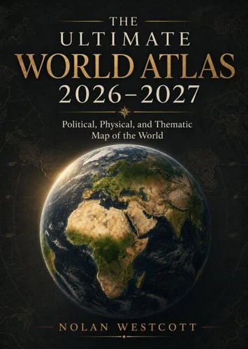
Explore the planet with confidence through The Ultimate World Atlas 2026-2027, a reference designed for students, travelers, educators, families, researchers, and curious readers. This comprehensive atlas brings together political, physical, and thematic maps to provide clear understanding of countries, borders, capitals, oceans, mountain systems, rivers, deserts, climate regions, population patterns, economic activity, natural resources, and global connections.
Carefully organized regional sections make it easy to compare continents, locate important cities, study geographic features, and understand how people and environments shape one another. Detailed world maps offer a practical overview of changing political boundaries, while physical maps reveal elevation, terrain, waterways, and major landforms. Thematic presentations help readers examine subjects such as climate, vegetation, population, languages, transportation, agriculture, energy, trade, and development.
Bold labels, readable layouts, and attractive cartographic styling support quick reference and enjoyable study. Whether used for classroom learning, trip planning, homework, general knowledge, or everyday exploration, this atlas provides accessible information without overwhelming the reader. It encourages geographic awareness, strengthens map-reading skills, and helps users connect current events with the places where they happen.
From the Arctic and the Americas to Africa, Europe, Asia, Oceania, and the world's oceans, every section invites discovery. The Ultimate World Atlas 2026-2027 is a useful companion for anyone seeking a broader, clearer, and more informed view of our diverse and interconnected world.
Explore the planet with confidence through The Ultimate World Atlas 2026-2027, a reference designed for students, travelers, educators, families, researchers, and curious readers. This comprehensive atlas brings together political, physical, and thematic maps to provide clear understanding of countries, borders, capitals, oceans, mountain systems, rivers, deserts, climate regions, population patterns, economic activity, natural resources, and global connections.
Carefully organized regional sections make it easy to compare continents, locate important cities, study geographic features, and understand how people and environments shape one another. Detailed world maps offer a practical overview of changing political boundaries, while physical maps reveal elevation, terrain, waterways, and major landforms. Thematic presentations help readers examine subjects such as climate, vegetation, population, languages, transportation, agriculture, energy, trade, and development.
Bold labels, readable layouts, and attractive cartographic styling support quick reference and enjoyable study. Whether used for classroom learning, trip planning, homework, general knowledge, or everyday exploration, this atlas provides accessible information without overwhelming the reader. It encourages geographic awareness, strengthens map-reading skills, and helps users connect current events with the places where they happen.
From the Arctic and the Americas to Africa, Europe, Asia, Oceania, and the world's oceans, every section invites discovery. The Ultimate World Atlas 2026-2027 is a useful companion for anyone seeking a broader, clearer, and more informed view of our diverse and interconnected world.