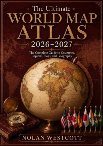
Explore the world with confidence through *The Ultimate World Map Atlas 2026-2027*, a comprehensive and visually engaging guide to countries, capitals, flags, continents, and global geography. Designed for students, travelers, educators, researchers, families, and geography enthusiasts, this atlas makes it easier to understand the nations, regions, and physical features that shape our planet.
Discover detailed world maps, locate countries and major cities, identify national capitals, recognize international flags, and strengthen your knowledge of continents, oceans, borders, and important geographic landmarks.
The clear organization and accessible presentation make this atlas useful for classroom learning, travel planning, research, homeschooling, quizzes, and everyday reference.
Updated for 2026-2027, this guide provides a modern overview of the world while preserving the clarity and practical value of a traditional atlas. Readers can explore geographic relationships, compare regions, study national identities, and develop a stronger understanding of how people, places, cultures, and environments are connected.
Whether you are preparing for an exam, helping a child learn geography, planning an international adventure, or simply curious about the world, this atlas offers an enjoyable and informative experience.
Its combination of maps, country information, capitals, flags, and essential geographic knowledge makes it a valuable addition to homes, schools, libraries, offices, and personal collections.
Begin your journey across continents and discover the remarkable diversity of the world with a dependable atlas created for learning, exploration, and discovery.
Explore the world with confidence through *The Ultimate World Map Atlas 2026-2027*, a comprehensive and visually engaging guide to countries, capitals, flags, continents, and global geography. Designed for students, travelers, educators, researchers, families, and geography enthusiasts, this atlas makes it easier to understand the nations, regions, and physical features that shape our planet.
Discover detailed world maps, locate countries and major cities, identify national capitals, recognize international flags, and strengthen your knowledge of continents, oceans, borders, and important geographic landmarks.
The clear organization and accessible presentation make this atlas useful for classroom learning, travel planning, research, homeschooling, quizzes, and everyday reference.
Updated for 2026-2027, this guide provides a modern overview of the world while preserving the clarity and practical value of a traditional atlas. Readers can explore geographic relationships, compare regions, study national identities, and develop a stronger understanding of how people, places, cultures, and environments are connected.
Whether you are preparing for an exam, helping a child learn geography, planning an international adventure, or simply curious about the world, this atlas offers an enjoyable and informative experience.
Its combination of maps, country information, capitals, flags, and essential geographic knowledge makes it a valuable addition to homes, schools, libraries, offices, and personal collections.
Begin your journey across continents and discover the remarkable diversity of the world with a dependable atlas created for learning, exploration, and discovery.