Nouveauté
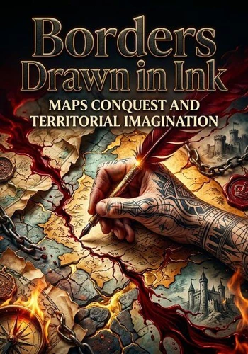
Borders Drawn in Ink. Maps Conquest and Territorial Imagination
Par :Formats :
Disponible dans votre compte client Decitre ou Furet du Nord dès validation de votre commande. Le format ePub est :
- Compatible avec une lecture sur My Vivlio (smartphone, tablette, ordinateur)
- Compatible avec une lecture sur liseuses Vivlio
- Pour les liseuses autres que Vivlio, vous devez utiliser le logiciel Adobe Digital Edition. Non compatible avec la lecture sur les liseuses Kindle, Remarkable et Sony
 , qui est-ce ?
Notre partenaire de plateforme de lecture numérique où vous retrouverez l'ensemble de vos ebooks gratuitement
Pour en savoir plus sur nos ebooks, consultez notre aide en ligne ici
C'est si simple ! Lisez votre ebook avec l'app Vivlio sur votre tablette, mobile ou ordinateur :

- Nombre de pages183
- FormatePub
- ISBN978-3-565-62549-9
- EAN9783565625499
- Date de parution08/08/2026
- Protection num.pas de protection
- Taille1 Mo
- Infos supplémentairesepub
- ÉditeurEmphaloz Publishing House
Résumé
A line on paper could precede a road, a fort, a tax claim, or an invasion. Maps did not merely record expanding empires; they helped administrators imagine territory as measurable, divisible, and governable. This history examines surveying, boundary making, naming, and the selective representation of peoples and landscapes. It follows maps from field observations to offices where distant decisions acquired visual certainty.
Attention to omissions and disputes reveals the limits of cartographic authority. Readers gain a critical yet historically grounded understanding of how maps supported colonization while also becoming evidence contested by local communities and rival powers.
Attention to omissions and disputes reveals the limits of cartographic authority. Readers gain a critical yet historically grounded understanding of how maps supported colonization while also becoming evidence contested by local communities and rival powers.