Writes intellectual nonfiction about creativity, literature, and cultural memory.
Nouveauté
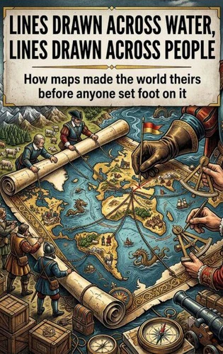
Lines drawn across water, lines drawn across people. How maps made the world theirs before anyone set foot on it
Par :Formats :
Disponible dans votre compte client Decitre ou Furet du Nord dès validation de votre commande. Le format ePub est :
- Compatible avec une lecture sur My Vivlio (smartphone, tablette, ordinateur)
- Compatible avec une lecture sur liseuses Vivlio
- Pour les liseuses autres que Vivlio, vous devez utiliser le logiciel Adobe Digital Edition. Non compatible avec la lecture sur les liseuses Kindle, Remarkable et Sony
 , qui est-ce ?
Notre partenaire de plateforme de lecture numérique où vous retrouverez l'ensemble de vos ebooks gratuitement
Pour en savoir plus sur nos ebooks, consultez notre aide en ligne ici
C'est si simple ! Lisez votre ebook avec l'app Vivlio sur votre tablette, mobile ou ordinateur :

- Nombre de pages200
- FormatePub
- ISBN978-3-565-55224-5
- EAN9783565552245
- Date de parution09/07/2026
- Protection num.pas de protection
- Taille880 Ko
- Infos supplémentairesepub
- ÉditeurEmphaloz Publishing House
Résumé
Before any colony was founded, a line had already been drawn. The Treaty of Tordesillas, the papal bulls, the charts that showed empty land where millions lived-these were acts of possession performed entirely on paper. This book examines the Age of Exploration not as a series of voyages but as a crisis of representation. It argues that the true engine of colonization was not the caravel or the musket but the map, the legal document, the letter patent.
European powers claimed dominion over territories they had never seen, based on principles of discovery that assumed land without European presence was land without ownership. The book follows how cartography became a weapon: coastlines were simplified, interior regions left blank, indigenous place-names replaced with saints' names and royal titles. These were not neutral acts of measurement. They were acts of erasure.
Drawing on the history of early modern cartography, legal theory, and diplomatic correspondence, the narrative shows how the very concept of "discovery" was invented to justify what was already being done. The book does not celebrate the explorers. It asks what it means to call a place "new" when it was never empty.
European powers claimed dominion over territories they had never seen, based on principles of discovery that assumed land without European presence was land without ownership. The book follows how cartography became a weapon: coastlines were simplified, interior regions left blank, indigenous place-names replaced with saints' names and royal titles. These were not neutral acts of measurement. They were acts of erasure.
Drawing on the history of early modern cartography, legal theory, and diplomatic correspondence, the narrative shows how the very concept of "discovery" was invented to justify what was already being done. The book does not celebrate the explorers. It asks what it means to call a place "new" when it was never empty.
A propos de Natalie Harrington
9,99 €
9,99 €