SOLDES
Jusqu'à -70% sur une sélection d'articles*

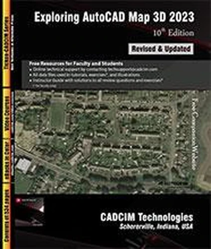
Exploring AutoCAD Map 3D 2023, 10th Edition
Par :Formats :
Disponible dans votre compte client Decitre ou Furet du Nord dès validation de votre commande. Le format ePub protégé est :
- Compatible avec une lecture sur My Vivlio (smartphone, tablette, ordinateur)
- Compatible avec une lecture sur liseuses Vivlio
- Pour les liseuses autres que Vivlio, vous devez utiliser le logiciel Adobe Digital Edition. Non compatible avec la lecture sur les liseuses Kindle, Remarkable et Sony
- Non compatible avec un achat hors France métropolitaine
Notre partenaire de plateforme de lecture numérique où vous retrouverez l'ensemble de vos ebooks gratuitement
Pour en savoir plus sur nos ebooks, consultez notre aide en ligne ici
C'est si simple ! Lisez votre ebook avec l'app Vivlio sur votre tablette, mobile ou ordinateur :

- FormatePub
- ISBN978-1-64057-169-3
- EAN9781640571693
- Date de parution21/02/2024
- Protection num.Adobe DRM
- Infos supplémentairesepub
- ÉditeurCADCIM Technologies
Résumé
Exploring AutoCAD Map 3D 2023 textbook introduces the users to AutoCAD Map 3D 2023 software. This textbook is a gateway to power, skill, and competence in the field of GIS and spatial analysis. This textbook is specially meant for professionals and students of GIS, Urban Planning, Civil Engineering, Cartography, and CAD professionals who are associated with planning, designing, and data management.
Special emphasis has been laid to explain new concepts, procedures, and methods in GIS by using sufficient text and graphical examples.
Special emphasis has been laid to explain new concepts, procedures, and methods in GIS by using sufficient text and graphical examples.
A propos de Sham Tickoo


33,49 €

33,49 €

33,49 €

33,49 €
33,49 €

35,49 €


36,99 €


36,99 €


37,49 €