He is Honorary Publications Officer for the Geographical Association (GA) and editor of the GA's best-selling publication, the Primary Geography Handbook
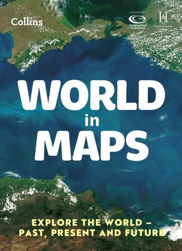
World in Maps. Explore the world – past, present and future
Par :Formats :
Disponible dans votre compte client Decitre ou Furet du Nord dès validation de votre commande. Le format Non renseigné protégé est :
- Pour les liseuses autres que Vivlio, vous devez utiliser le logiciel Adobe Digital Edition. Non compatible avec la lecture sur les liseuses Kindle, Remarkable et Sony
- Non compatible avec un achat hors France métropolitaine
 , qui est-ce ?
Notre partenaire de plateforme de lecture numérique où vous retrouverez l'ensemble de vos ebooks gratuitement
Pour en savoir plus sur nos ebooks, consultez notre aide en ligne ici
C'est si simple ! Lisez votre ebook avec l'app Vivlio sur votre tablette, mobile ou ordinateur :

- Nombre de pages56
- FormatNon renseigné
- ISBN978-0-00-859822-8
- EAN9780008598228
- Date de parution02/03/2023
- Protection num.Adobe DRM
- ÉditeurCollins
Résumé
The must-have thematic atlas for KS2 and beyond
Bring geography, history and the environment together with this thematic world atlas suitable for Key Stage 2 and lower Key Stage 3.
Fully up-to-date and endorsed by the Geographical and Historical Associations, it helps children to understand how things came to be, as well as how they might change in years to come.
World in Maps investigates themes with a focus on environmental issues, colonialism, trade, migration and farming, and includes reference maps of the continents and historic empires.
Ideal for classroom use and home learning, it provides opportunities for pupils to conduct their own enquiries and explore maths in context using maps, satellite images, diagrams, charts and photographs.
Also available: UK in Maps ISBN 9780008556488
A propos de Stephen Scoffham
28,55 €
28,55 €
28,55 €
28,55 €
28,55 €
28,55 €
6,99 €
6,99 €
6,99 €
Movement – Pupil Book 4
E-book
6,99 €
Change – Pupil Book 5
E-book
6,99 €
Issues – Pupil Book 6
E-book
6,99 €
Collins Junior Atlas
E-book
9,78 €
UK in Maps
E-book
5,66 €
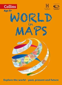
World in Maps
E-book
5,66 €