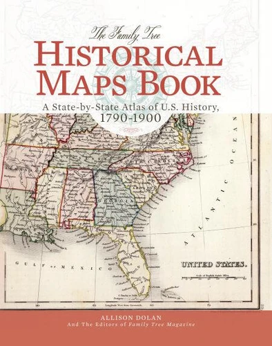
Journey Into the Past!Envision your ancestors' world--as your ancestors knew it--through hundreds of beautiful full-color reproductions of useful eighteenth and nineteenth century maps. The maps illustrate the historical boundaries of each of the U. S. states as they progressed from territories to statehood and show the shifting of county boundaries and names within states over the years. Inside you'll find: . Full-color historical maps of the United States from each decade of the nineteenth century. . Detailed, full-color historical maps of all 50 U.
S. states. . Time lines of significant events in each state's history. . Charming nineteenth-century panoramic maps of key cities. . Special-interest maps, which provide intriguing peeks into American society from average family sizes to taxation per capita to regional industries. This book is perfect for family historians researching their American roots. The maps can help you: put research in geographical context; identify jurisdictions that likely hold your ancestors' records; note the potential locations of "missing" records; track and visualize migrations; and understand the evolution of national, state and county borders.
The maps also provide great historical context for students, teachers, homeschooling parents and anyone with an interest in U. S. history. Bring American history to life with this ultimate collection of vintage maps.