SOLDES
Jusqu'à -70% sur une sélection d'articles*

Nouveauté
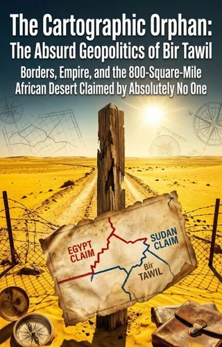
The Cartographic Orphan: The Absurd Geopolitics of Bir Tawil. Borders, Empire, and the 800-Square-Mile African Desert Claimed by Absolutely No One
Par :Formats :
Disponible dans votre compte client Decitre ou Furet du Nord dès validation de votre commande. Le format ePub est :
- Compatible avec une lecture sur My Vivlio (smartphone, tablette, ordinateur)
- Compatible avec une lecture sur liseuses Vivlio
- Pour les liseuses autres que Vivlio, vous devez utiliser le logiciel Adobe Digital Edition. Non compatible avec la lecture sur les liseuses Kindle, Remarkable et Sony
 , qui est-ce ?
Notre partenaire de plateforme de lecture numérique où vous retrouverez l'ensemble de vos ebooks gratuitement
Pour en savoir plus sur nos ebooks, consultez notre aide en ligne ici
C'est si simple ! Lisez votre ebook avec l'app Vivlio sur votre tablette, mobile ou ordinateur :

- Nombre de pages186
- FormatePub
- ISBN978-3-565-46654-2
- EAN9783565466542
- Date de parution29/05/2026
- Protection num.pas de protection
- Taille838 Ko
- Infos supplémentairesepub
- ÉditeurEmphaloz Publishing House
Résumé
How is it legally and geographically possible that an 800-square-mile wedge of land sitting right between Egypt and Sudan is claimed by absolutely no sovereign nation on Earth? The bizarre anomaly of Bir Tawil is the last true "terra nullius" outside of Antarctica, born from the absurd arrogance of British colonial mapmaking.
In 1899, the British Empire drew a straight, geometric border between Egypt and Sudan.
However, in 1902, they drew a second, jagged administrative border based on tribal grazing lands. This created two overlapping territories: the resource-rich Hala'ib Triangle and the barren Bir Tawil. Because international law dictates that a country can only claim one of the two borders, both Egypt and Sudan fiercely claim the valuable Hala'ib Triangle, thereby legally forcing themselves to completely disown Bir Tawil.
Accepting the barren desert would mean legally surrendering the valuable coast. This fascinating geopolitical exploration deconstructs the rigid inflexibility of modern borders. It explores the hilarious attempts by eccentric tourists to plant flags and claim Bir Tawil as their own micro-kingdom, and the legal paradox of a land that officially does not exist. Question the lines on the map. Bir Tawil proves that the rigid architecture of international law can sometimes create a piece of the world that the world itself refuses to acknowledge.
However, in 1902, they drew a second, jagged administrative border based on tribal grazing lands. This created two overlapping territories: the resource-rich Hala'ib Triangle and the barren Bir Tawil. Because international law dictates that a country can only claim one of the two borders, both Egypt and Sudan fiercely claim the valuable Hala'ib Triangle, thereby legally forcing themselves to completely disown Bir Tawil.
Accepting the barren desert would mean legally surrendering the valuable coast. This fascinating geopolitical exploration deconstructs the rigid inflexibility of modern borders. It explores the hilarious attempts by eccentric tourists to plant flags and claim Bir Tawil as their own micro-kingdom, and the legal paradox of a land that officially does not exist. Question the lines on the map. Bir Tawil proves that the rigid architecture of international law can sometimes create a piece of the world that the world itself refuses to acknowledge.