SOLDES
Jusqu'à -70% sur une sélection d'articles*

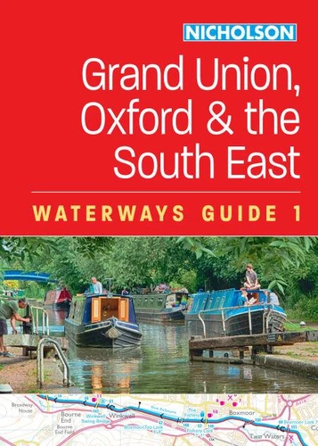
Grand Union, Oxford and the South East (1). For everyone with an interest in Britain’s canals and rivers
Par :Formats :
Disponible dans votre compte client Decitre ou Furet du Nord dès validation de votre commande. Le format Non renseigné protégé est :
- Pour les liseuses autres que Vivlio, vous devez utiliser le logiciel Adobe Digital Edition. Non compatible avec la lecture sur les liseuses Kindle, Remarkable et Sony
- Non compatible avec un achat hors France métropolitaine
 , qui est-ce ?
Notre partenaire de plateforme de lecture numérique où vous retrouverez l'ensemble de vos ebooks gratuitement
Pour en savoir plus sur nos ebooks, consultez notre aide en ligne ici
C'est si simple ! Lisez votre ebook avec l'app Vivlio sur votre tablette, mobile ou ordinateur :

- Nombre de pages200
- FormatNon renseigné
- ISBN978-0-00-868705-2
- EAN9780008687052
- Date de parution15/02/2024
- Protection num.Adobe DRM
- ÉditeurNicholson
Résumé
The bestselling guides to Britain's canals and rivers for more than 50 years.
For all users of Britain's inland waterways. This established, popular and practical guide covers the canals and waterways between London and Birmingham.
Waterways covered in this guide - Chelmer & Blackwater Navigation, Grand Union Canal, Lee & Stort Navigations, River Medway, Oxford Canal, River Thames.
Guide includes;.
Detailed Collins mapping at a scale of 2 inches = 1 mile, 3 cm = 1 km.. Descriptive text and accompanying images. Comprehensive navigational notes. Information about points of interest along the waterways, e.g. local landmarks, pubs, water points, etc. Published for more than 50 years, the best-selling Collins Nicholson guides to the waterways have always been a vital part of journeys along Britain's canals and rivers.
They are designed for anyone and everyone with an interest in Britain's inland waterways - from experienced boaters to those planning their first boat trip, as well as walkers, cyclists, and paddlers. This practical A5 guide features 'lie flat' spiral binding and 'book mark' back cover flap for ease of reference. Comprehensive navigational notes include:. Maximum dimensions and low bridges. Mileages, advice and potential hazards.
Navigation authorities and contact details
Detailed Collins mapping at a scale of 2 inches = 1 mile, 3 cm = 1 km.. Descriptive text and accompanying images. Comprehensive navigational notes. Information about points of interest along the waterways, e.g. local landmarks, pubs, water points, etc. Published for more than 50 years, the best-selling Collins Nicholson guides to the waterways have always been a vital part of journeys along Britain's canals and rivers.
They are designed for anyone and everyone with an interest in Britain's inland waterways - from experienced boaters to those planning their first boat trip, as well as walkers, cyclists, and paddlers. This practical A5 guide features 'lie flat' spiral binding and 'book mark' back cover flap for ease of reference. Comprehensive navigational notes include:. Maximum dimensions and low bridges. Mileages, advice and potential hazards.
Navigation authorities and contact details