SOLDES
Jusqu'à -70% sur une sélection d'articles*

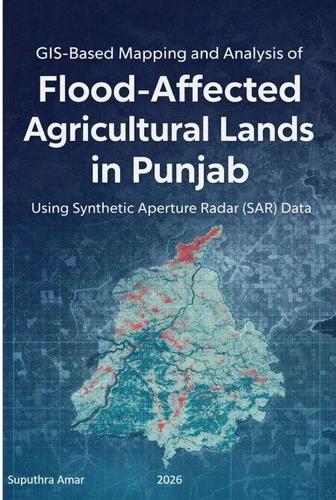
GIS-Based Mapping and Analysis of Flood-Affected Agricultural Lands in Punjab Using Synthetic Aperture Radar (SAR) Data. 1, #1
Par :Formats :
Disponible dans votre compte client Decitre ou Furet du Nord dès validation de votre commande. Le format ePub est :
- Compatible avec une lecture sur My Vivlio (smartphone, tablette, ordinateur)
- Compatible avec une lecture sur liseuses Vivlio
- Pour les liseuses autres que Vivlio, vous devez utiliser le logiciel Adobe Digital Edition. Non compatible avec la lecture sur les liseuses Kindle, Remarkable et Sony
 , qui est-ce ?
Notre partenaire de plateforme de lecture numérique où vous retrouverez l'ensemble de vos ebooks gratuitement
Pour en savoir plus sur nos ebooks, consultez notre aide en ligne ici
C'est si simple ! Lisez votre ebook avec l'app Vivlio sur votre tablette, mobile ou ordinateur :

- FormatePub
- ISBN8233034657
- EAN9798233034657
- Date de parution16/02/2026
- Protection num.pas de protection
- Infos supplémentairesepub
- ÉditeurLinda Balsamo
Résumé
This book serves as a ready reference for early GIS learners, students, and researchers, providing practical guidance for undertaking dissertation and research projects. It acts as a comprehensive guide for integrating SAR data with GIS techniques for research purposes, with a particular focus on flood-related applications. The book presents a ready-made project framework that can be directly used by students, academic guides, and research scholars for applications such as flood identification, mapping flooded agricultural land, assessing impacts on habitations and infrastructure, and analyzing crop type and crop loss during flood events.
The methodologies described can be readily adapted to different study areas and research objectives. It includes step-by-step instructions for downloading open-source SAR imagery, processing SAR data, and installing and using the open-source QGIS software. Detailed guidance is also provided for pre-processing SAR imagery using the SNAP application, enabling users to confidently handle SAR datasets from raw data to analysis-ready outputs.
Furthermore, the book is designed to be flexible and extendable, allowing it to be applied to a wide range of GIS projects based on SAR data by simply changing the study area or incorporating advanced or alternative analytical methods. A complete case study is included, covering all essential components of a research report such as the introduction, literature review, study area, methodology, results, conclusion, and references.
As such, the book serves as a practical guide for composing and executing research reports focused on GIS and its diverse applications.
The methodologies described can be readily adapted to different study areas and research objectives. It includes step-by-step instructions for downloading open-source SAR imagery, processing SAR data, and installing and using the open-source QGIS software. Detailed guidance is also provided for pre-processing SAR imagery using the SNAP application, enabling users to confidently handle SAR datasets from raw data to analysis-ready outputs.
Furthermore, the book is designed to be flexible and extendable, allowing it to be applied to a wide range of GIS projects based on SAR data by simply changing the study area or incorporating advanced or alternative analytical methods. A complete case study is included, covering all essential components of a research report such as the introduction, literature review, study area, methodology, results, conclusion, and references.
As such, the book serves as a practical guide for composing and executing research reports focused on GIS and its diverse applications.