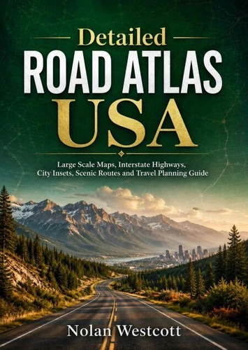
Discover America with confidence using Detailed Road Atlas USA, a practical and inspiring travel companion created for drivers who want dependable navigation, smarter route planning, and a deeper connection with the open road. Covering interstate highways, city approaches, scenic byways, historic roads, mountain passes, coastal routes, desert corridors, national parks, small towns, and major metropolitan connections, this guide helps travelers understand how the country fits together before the journey begins.
Inside, readers learn how to read large scale maps, compare highway options, estimate realistic driving times, plan fuel and overnight stops, prepare for weather and emergencies, and navigate confidently when mobile signals fail.
Detailed regional guidance explores the Northeast, Southeast, Midwest, Great Plains, Southwest, Rocky Mountains, Pacific Coast, and western states, with practical advice for urban traffic, remote highways, steep grades, toll roads, seasonal closures, snow conditions, and long distance travel.
The book also highlights memorable routes such as Route 66, the Lincoln Highway, the Great River Road, Pacific Coast highways, Great Lakes shorelines, Rocky Mountain corridors, and scenic national park circuits.
Whether planning a weekend escape, a cross country adventure, or a lifetime of road trips, readers will find useful strategies for creating safer, more flexible, and more rewarding journeys.
Detailed Road Atlas USA is designed for travelers who value printed navigation, offline independence, and meaningful exploration. It turns every road, detour, and destination into part of a larger American journey.
Pack the atlas, choose a route, and go.
Discover America with confidence using Detailed Road Atlas USA, a practical and inspiring travel companion created for drivers who want dependable navigation, smarter route planning, and a deeper connection with the open road. Covering interstate highways, city approaches, scenic byways, historic roads, mountain passes, coastal routes, desert corridors, national parks, small towns, and major metropolitan connections, this guide helps travelers understand how the country fits together before the journey begins.
Inside, readers learn how to read large scale maps, compare highway options, estimate realistic driving times, plan fuel and overnight stops, prepare for weather and emergencies, and navigate confidently when mobile signals fail.
Detailed regional guidance explores the Northeast, Southeast, Midwest, Great Plains, Southwest, Rocky Mountains, Pacific Coast, and western states, with practical advice for urban traffic, remote highways, steep grades, toll roads, seasonal closures, snow conditions, and long distance travel.
The book also highlights memorable routes such as Route 66, the Lincoln Highway, the Great River Road, Pacific Coast highways, Great Lakes shorelines, Rocky Mountain corridors, and scenic national park circuits.
Whether planning a weekend escape, a cross country adventure, or a lifetime of road trips, readers will find useful strategies for creating safer, more flexible, and more rewarding journeys.
Detailed Road Atlas USA is designed for travelers who value printed navigation, offline independence, and meaningful exploration. It turns every road, detour, and destination into part of a larger American journey.
Pack the atlas, choose a route, and go.