
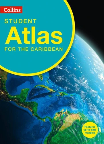
Collins Student Atlas for the Caribbean
Par :Formats :
Disponible dans votre compte client Decitre ou Furet du Nord dès validation de votre commande. Le format ePub protégé est :
- Compatible avec une lecture sur My Vivlio (smartphone, tablette, ordinateur)
- Compatible avec une lecture sur liseuses Vivlio
- Pour les liseuses autres que Vivlio, vous devez utiliser le logiciel Adobe Digital Edition. Non compatible avec la lecture sur les liseuses Kindle, Remarkable et Sony
- Non compatible avec un achat hors France métropolitaine
 , qui est-ce ?
Notre partenaire de plateforme de lecture numérique où vous retrouverez l'ensemble de vos ebooks gratuitement
Pour en savoir plus sur nos ebooks, consultez notre aide en ligne ici
C'est si simple ! Lisez votre ebook avec l'app Vivlio sur votre tablette, mobile ou ordinateur :

- Nombre de pages200
- FormatePub
- ISBN978-0-00-874827-2
- EAN9780008748272
- Date de parution03/10/2024
- Protection num.Adobe DRM
- Infos supplémentairesepub
- ÉditeurCollins
Résumé
With comprehensive coverage of the Caribbean islands, gulfs and bays this atlas focuses on accurate mapping of all the Caribbean countries. Thematic maps of individual countries and the Caribbean region address topics specific to the syllabus.
This completely new Collins Caribbean Student Atlas is created for the requirements of CSEC Geography students and is a vital tool for all students, with up-to-date reference and thematic mapping, useful statistics and an extensive index.
The Atlas has been specifically designed for CSEC students, however its well-researched content and uncluttered design makes it easy for all student use.
Topics include population, climate, economy, industry, trade, tourism, history and the environment.
All maps are created using the latest statistical information available. High quality satellite imagery, which has been selectively used within the special topic or study areas, supports data on the maps and is used to illustrate key environmental issues. Up-to-date data aids students wishing to create their own graphics to support individual projects.
All maps are created using the latest statistical information available. High quality satellite imagery, which has been selectively used within the special topic or study areas, supports data on the maps and is used to illustrate key environmental issues. Up-to-date data aids students wishing to create their own graphics to support individual projects.