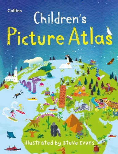
A beautifully illustrated picture atlas designed to take children on an exciting journey around the world.
This newly updated atlas opens with the continents, then presents a world view of countries showing fun facts and exciting places to visit within each.
The maps are clear, colourful and perfect for children to explore the world and let their imaginations run riot.
This book is ideal for home or school and finding out more about the world whilst also helping to develop essential reading skills.
Clear, colourful, highly informative, illustrated mapping designed for young readers.
Arranged by continent for easy reference.
Facts about the world we live in are included on each spread.