SOLDES
Jusqu'à -70% sur une sélection d'articles*

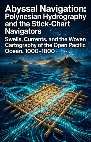
Abyssal Navigation: Polynesian Hydrography and the Stick-Chart Navigators. Swells, Currents, and the Woven Cartography of the Open Pacific Ocean, 1000–1800
Par :Formats :
Disponible dans votre compte client Decitre ou Furet du Nord dès validation de votre commande. Le format ePub est :
- Compatible avec une lecture sur My Vivlio (smartphone, tablette, ordinateur)
- Compatible avec une lecture sur liseuses Vivlio
- Pour les liseuses autres que Vivlio, vous devez utiliser le logiciel Adobe Digital Edition. Non compatible avec la lecture sur les liseuses Kindle, Remarkable et Sony
Notre partenaire de plateforme de lecture numérique où vous retrouverez l'ensemble de vos ebooks gratuitement
Pour en savoir plus sur nos ebooks, consultez notre aide en ligne ici
C'est si simple ! Lisez votre ebook avec l'app Vivlio sur votre tablette, mobile ou ordinateur :

- Nombre de pages149
- FormatePub
- ISBN978-3-565-41316-4
- EAN9783565413164
- Date de parution16/04/2026
- Protection num.pas de protection
- Taille886 Ko
- Infos supplémentairesepub
- ÉditeurEmphaloz Publishing House
Résumé
Traditional Western cartography relies heavily on static, visual landmarks and astronomical positioning to conquer the seas. This reliance created a massive historical blind spot regarding the indigenous seafarers of the Pacific, who successfully navigated millions of square miles of featureless ocean without a single compass or astrolabe. Their method did not map the stars; it mapped the water itself.
Abyssal Navigation explores the astonishing geotechnical genius of Polynesian hydrography.
Ancient wayfinders constructed intricate, abstract grids out of palm ribs and cowrie shells to physically model the refraction of deep-ocean swells bouncing off distant, invisible islands. These stick-charts were not maps to be read, but kinetic memory devices meant to train the navigator's body to feel microscopic shifts in the ocean's kinetic energy. Unearth the brilliant fluid dynamics understood by prehistoric mariners.
Discover how these indigenous engineers deciphered the chaotic interference patterns of the sea, utilizing tactile hydrography to effortlessly connect an empire scattered across the largest and most volatile body of water on Earth.